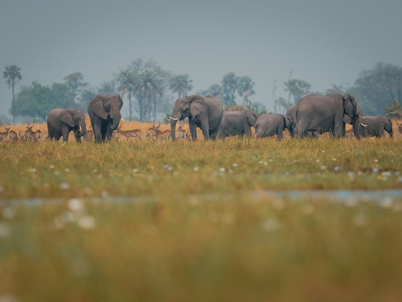
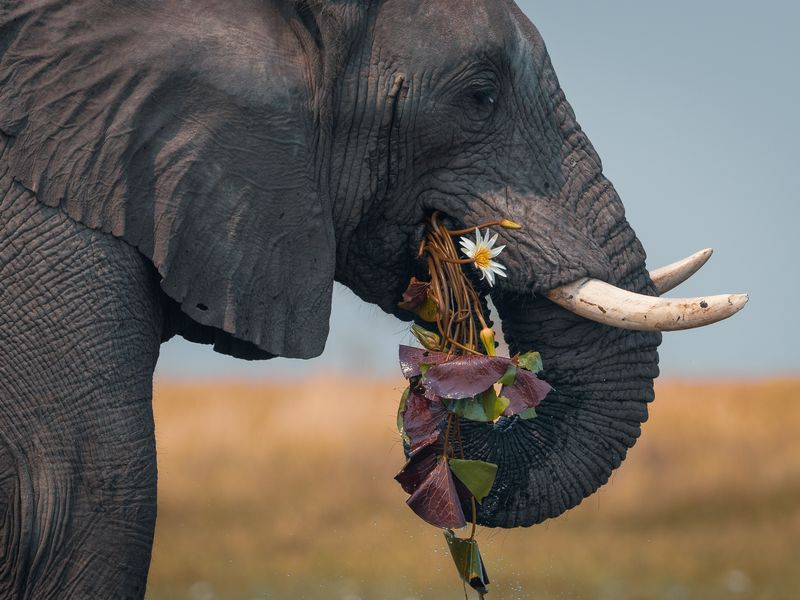
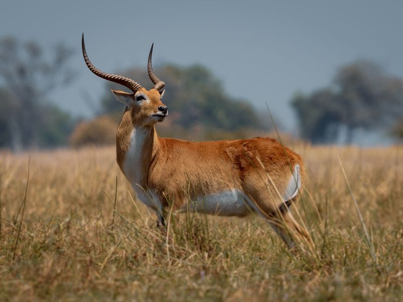
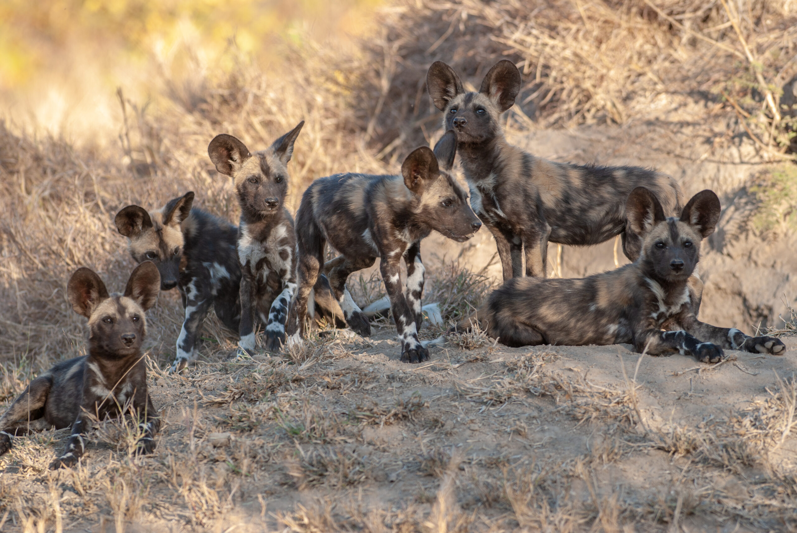
Leopards, spotted hyenas, red lechwe, roan antelope, and sitatungas are widespread throughout the Okavango Delta. Some of the world’s most endangered animals like cheetahs and African wild dogs can be found here, as well as stable populations of iconic species such as elephants and lions.
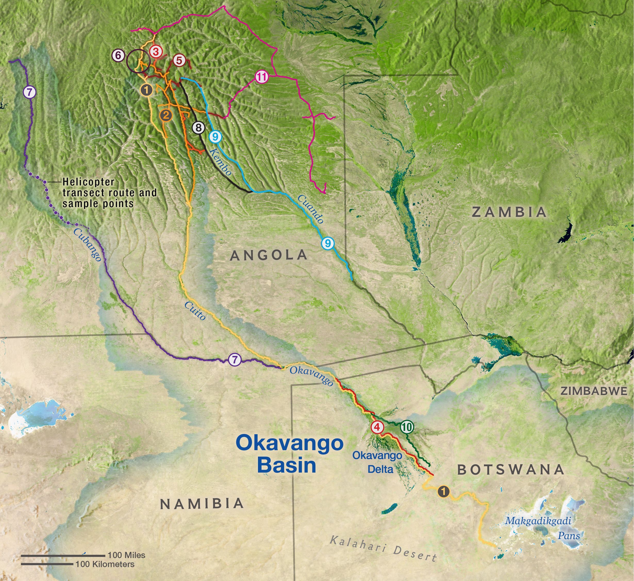
The NGOWP’s camera traps confirmed the presence of the lion, cheetah, leopard, and critically endangered African wild dog in areas as far north as the Cuito and Kembo Rivers’ source lakes. This has led to the expansion of the known range for wild dogs and cheetahs.
Another of the team’s camera traps recorded the first confirmation of sable antelope around the source lake of the Cuanavale River, a location more than 300 kilometers north of their current range. This has sparked new scientific discussion on the relative distribution of this species.