2016 ANNUAL OKAVANGO DELTA CROSSING

AUGUST - SEPTEMBER 2016

The Route

As the slope of the land flattens out in northern Botswana, the water that fell as rain and flowed out of lakes in the Angolan highlands to form the Okavango River slows down. At this point, the water is diverted by small rises in the land, or distracted into following trails pioneered by the massive hippos, buffalos, and elephants that make their way through the marshy landscape.

Poling through the shallows—carefully reading cues from the animals that live there—the team once again navigated 340 kilometers (211 miles) north to south, transecting the full length of the delta.

MAP BY MARTIN GAMACHE, ART OF THE MAPPABLE

The Mission

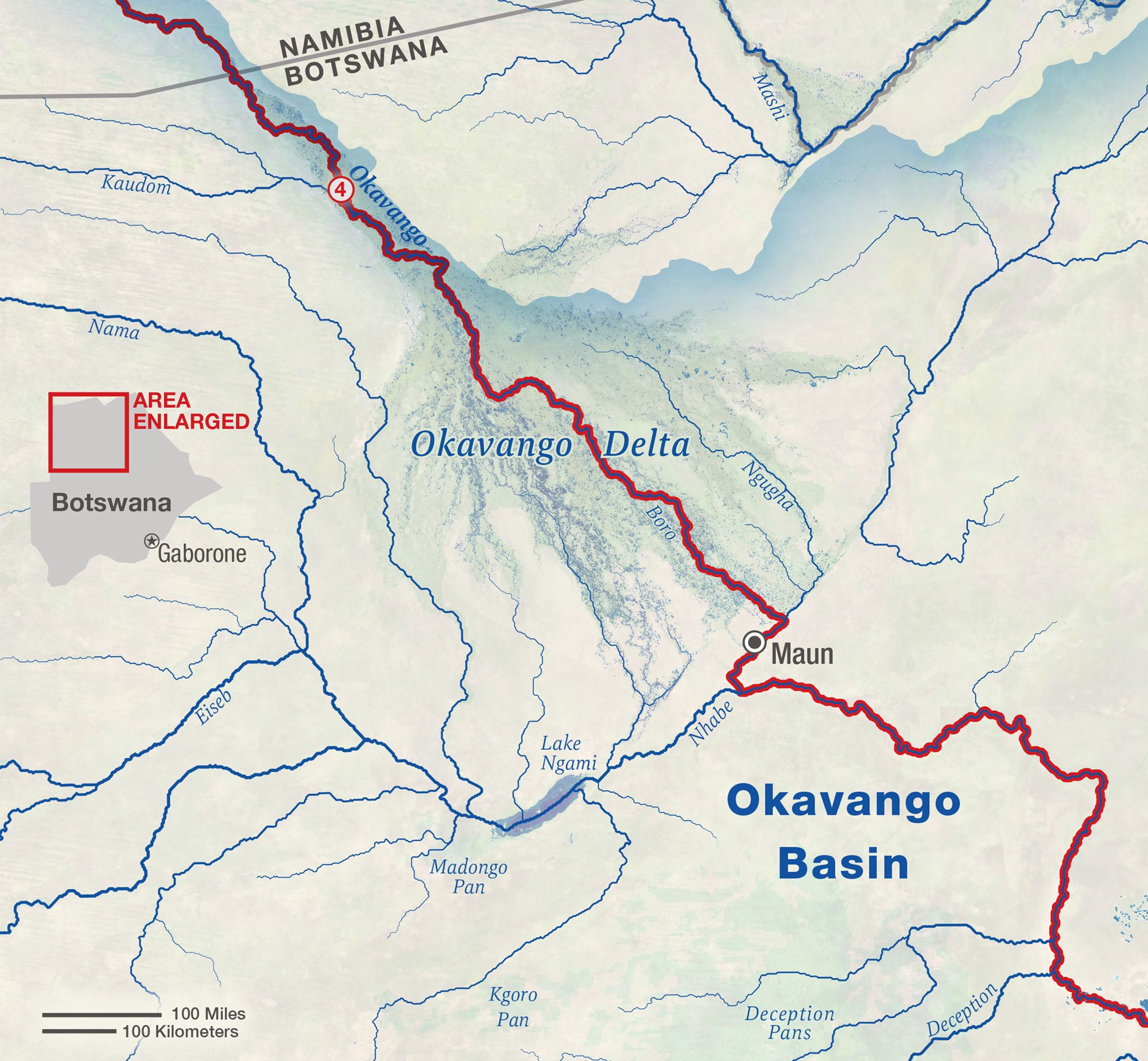
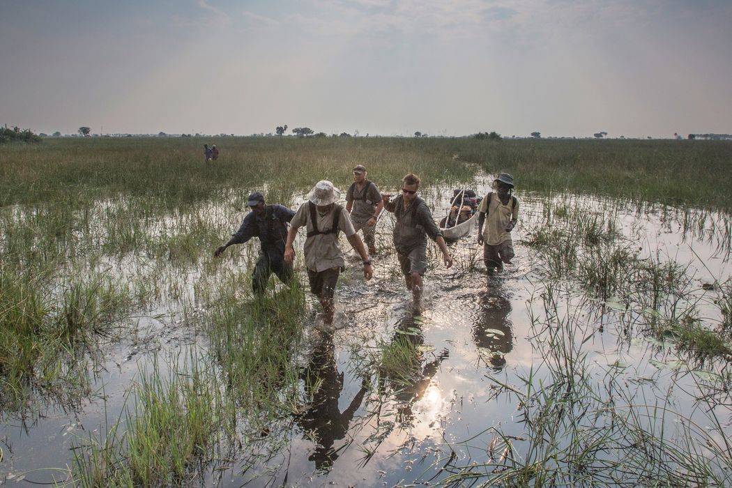
In its simplest form, the plan was to follow the river and watch the birds.

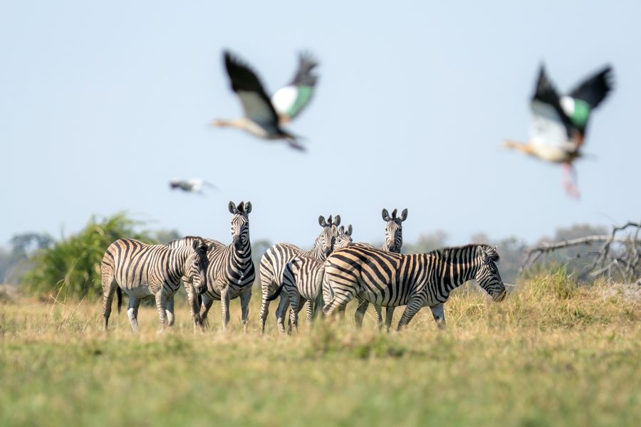
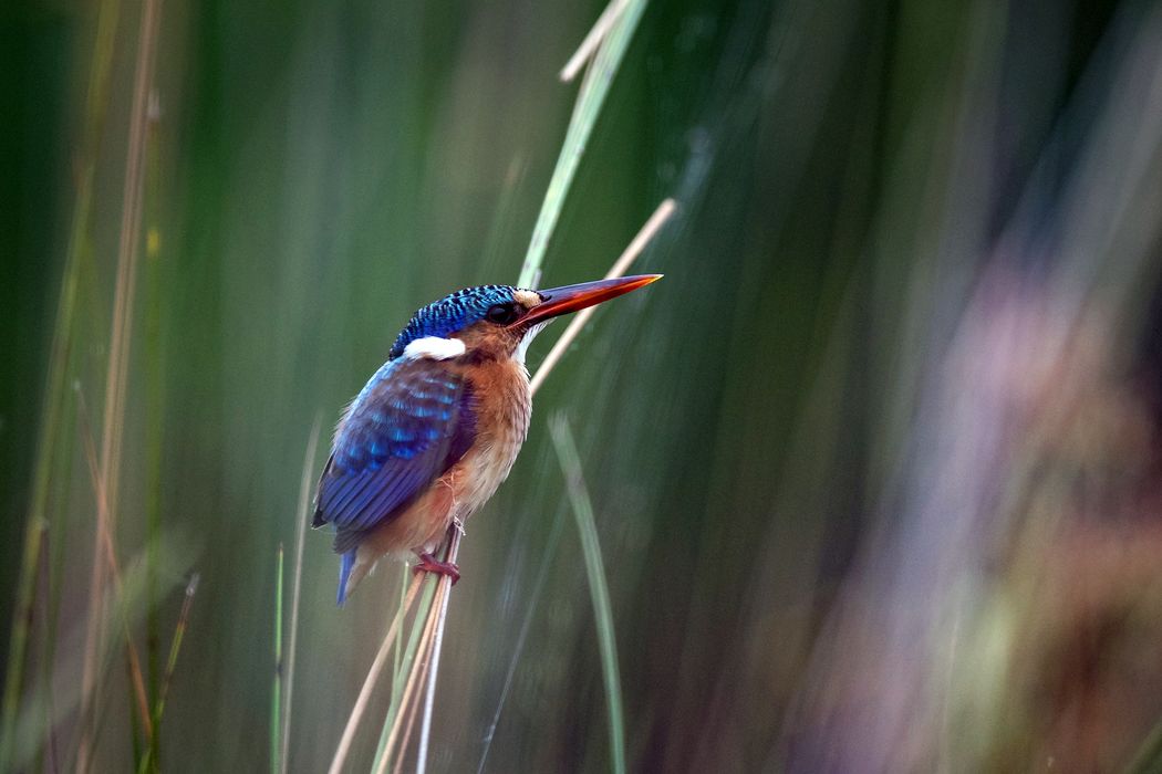
The Okavango Delta crossings are Steve Boyes’s annual check-ups on the health of this remote and wild landscape. Through careful observation of the presence and behavior of birds throughout the wetland, he is able to read subtle changes to the system. The accumulated data provides a unique record, whose patterns and signals will be teased out for years to come.

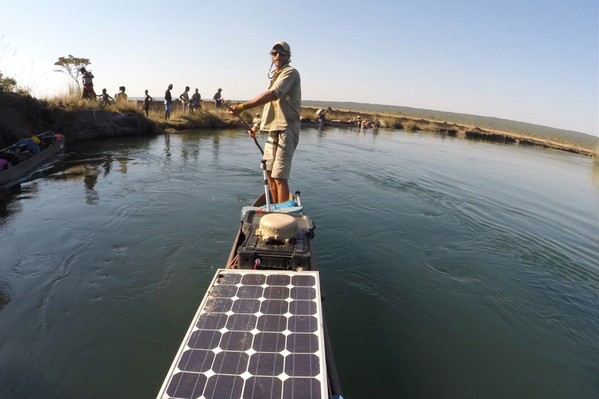
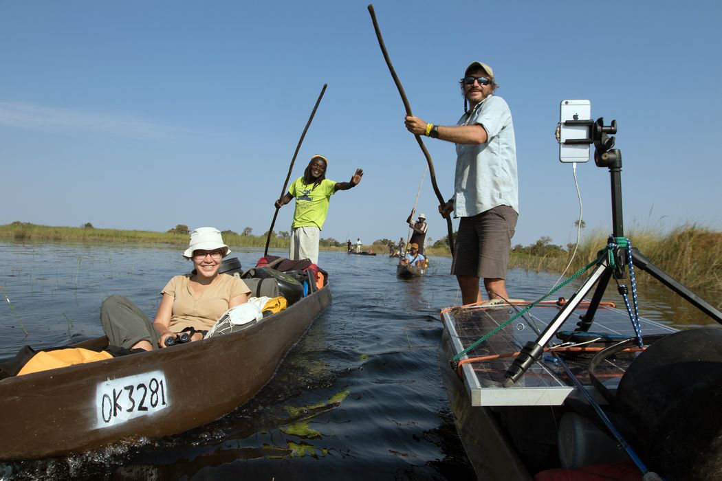
On this expedition, Steve was joined by fellow National Geographic Explorers Shah Selbe and Jer Thorp, who use innovative technology to record and interpret vast amounts of data on the ecosystem.

This year they deployed a new set of Okavango Delta FieldKits, compact arrays of sensors and transmitters designed by Shah. The kits record weather, water temperature, and pH levels and send the data home in near-real time via satellite. Once uploaded, it’s combined with data from all the team’s wildlife sightings, heart-rate monitors, tweets, photos, and blog posts, as well as the 360-degree images captured every minute of the expedition. This digital summary of the project is interpreted visually by Jer and the team on intotheokavango.org, and is made accessible to anyone via an open API—a classification of the data easily used by programmers to present and analyze it according to their own interest and inspiration.

PHOTOGRAPH BY KYLE NEIL GORDON

The Highlights

New technology keeps creating new opportunities for data collection and storytelling. A spherical image from the team’s Instagram feed captured this fact as well as the solar panels that keep all of the hi-tech equipment functioning hundreds of miles from the nearest electrical outlet.

Still, the benefits of old technology are just as deeply appreciated by the team. The small size and silent approach of the mokoro canoes once again allowed for close-up observation of skittish and rarely seen creatures, like the colorful African pygmy goose.

With a camera in every pocket and solar cells for recharging, the team shared their animal sightings, stunning sunsets, and thoughts and reflections in real time throughout the expedition. See it all in their Instagram feed.

OTHER EXPEDITIONS

PHOTOGRAPHS BY KYLE NEIL GORDON (TEAM IN WATER); GÖTZ NEEF (SOLAR PANEL/BOAT)

Get updates about our critical work to explore and protect our planet.

GIVE TODAY!

The National Geographic Society is celebrating Earth Month. This month only, you can make TWICE the impact to protect Earth’s oceans and natural wonders. Donate to the National Geographic Society to invest in Explorer-led projects and mission programs and help us make remarkable discoveries about the ocean’s intelligent marine life.

National Geographic Explorers are counting on you. Please make your gift today!