
Photograph by Winn Brewer, National Geographic
Spatial Thinking and Maps Skills in Young Children
Spatial thinking allows students to comprehend and analyze phenomena related to the places and spaces around them—and at scales from what they can touch and see in a room or their neighborhood to a world map or globe. Spatial thinking is one of the most important skills that students can develop as they learn geography, Earth, and environmental sciences. It also deepens and gives a more complete understanding of history and is linked to success in math and science. Young students also enhance their language skills as they collaborate and communicate about spatial relationships. Students who develop robust spatial thinking skills will be at an advantage in our increasingly global and technological society.
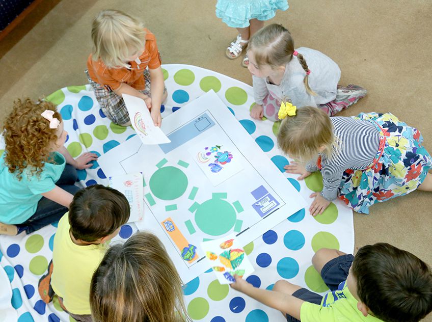
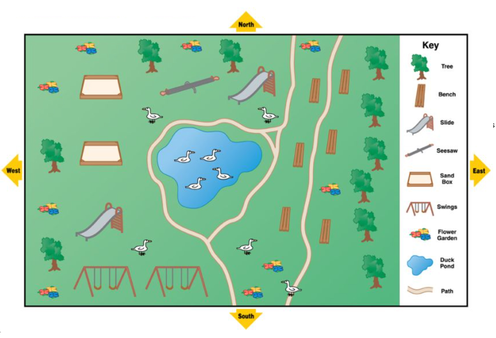
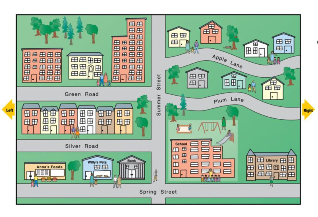
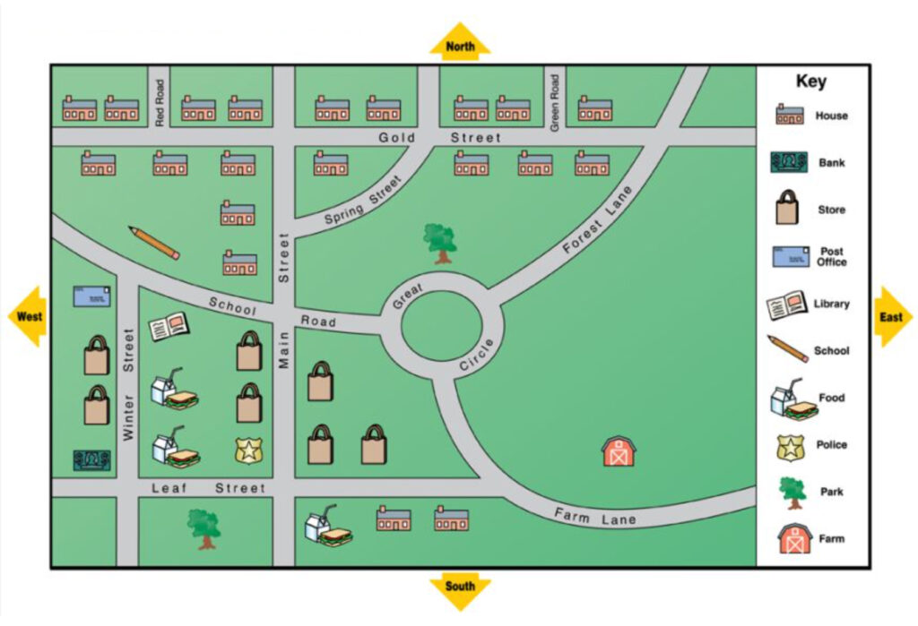
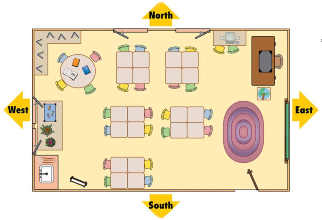
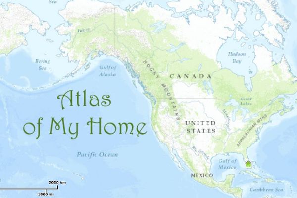
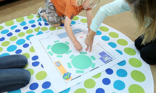
This collection can help you teach an assortment of map skills through activities that address the spatial thinking abilities of young children and developmental appropriateness. The collection is not intended to be a complete map skill program, and the activities can be adapted for higher or lower grades. Click here for a downloadable summary of all activities and the learning objectives and spatial thinking concepts targeted in each activity.
Mapping Concepts and Skills
Spatial Thinking
Learn more about the development of concepts and skills across the early years.
Activity Summary
Click here for a downloadable summary of all activities in the Map Skills for Elementary Students collection and the learning objectives and spatial thinking concepts targeted in each activity.
Large-Format Maps
State Tabletop Maps
Dive into state geography learning with printable, tiled tabletop maps.
World Map for Kids
National Geographic's The World for Kids wall map is an enticing and engaging world map perfect for classroom, home or library. Recommended by geography educators for ages 7-12, this map features an optimized map design for readability and easy, intuitive learning.
Maps of Familiar Places
Introduce young students to the concept of maps as representations of places with these community maps.
Park Map
Introduce young students to the concept of maps as representations of places with this park map.
Neighborhood Map
Introduce young students to the concept of maps as representations of places with this neighborhood map.
Community Map
Introduce young students to the concept of maps as representations of places with this community map.
Classroom Map
Introduce young students to the concept of maps as representations of places with this classroom map.
Educational Video
The Cartographer's Dilemma
Making a flat map of a round planet is a challenge all mapmakers have to deal with. Watch this video to learn why every map projection has some distortion.
Pictures of Practice
See activities in action in these picture of practice photo galleries.
Mapping the Classroom
See the activity Mapping the Classroom in action in this picture of practice photo gallery.
Mapping Storybooks
See the activity Mapping Storybooks in action in this picture of practice photo gallery.
Model Student Work
Many Ways to Name a Place
View a student-created atlas in this model student work photo gallery.
Maps as Tools for Adventure
Map Games
Have children explore the roles maps play in daily life with fun, online games.