Skip to content
Create and view interactive maps

MapMaker Interactive

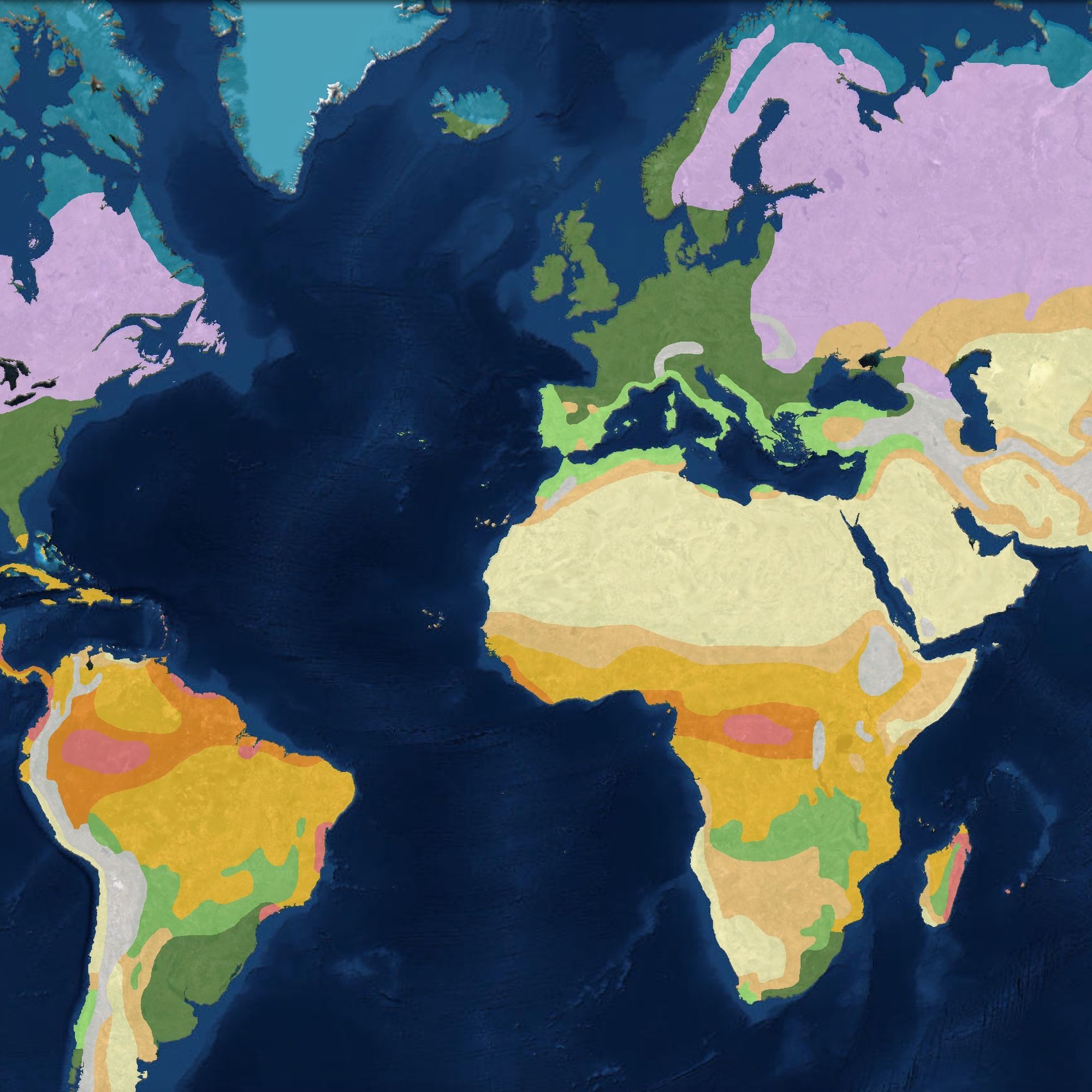
MapMaker Interactive is a online mapping tool that allows teachers and students to explore the world using map themes, data, and tools. Our online map makes it easy for students to visually explore and interact with our interconnected social and physical Earth systems.

Bring geography to your school in a big way

Giant Maps

What better way to teach young people the power of maps and the limitless depth of geography than a half court-sized map of a continent or a classroom-sized state map on which they can explore, travel around, compete, collaborate and have lots of fun?

Customizable maps to download, print, or share

One-Page Maps

Our one-page map generator allows you to customize maps of continents, countries, and states for use in the classroom. Add or omit borders, place names, river names, points of interest, and more to create the map you need.

Assemble large-scale maps for your classroom

MapMaker Kits

MapMaker Kits offer K-12 students the opportunity to work with key mapping concepts at a variety of scales and to see the world in new ways. Unique large-scale maps allow students to immerse themselves in the exploration of dynamic environmental and cultural aspects of the world. Each kit enables the user to download, print, and assemble maps of the world, individual continents, and the United States in a variety of sizes.