CUBANGO RIVER TRANSECT

MAY - JULY 2017

The Route

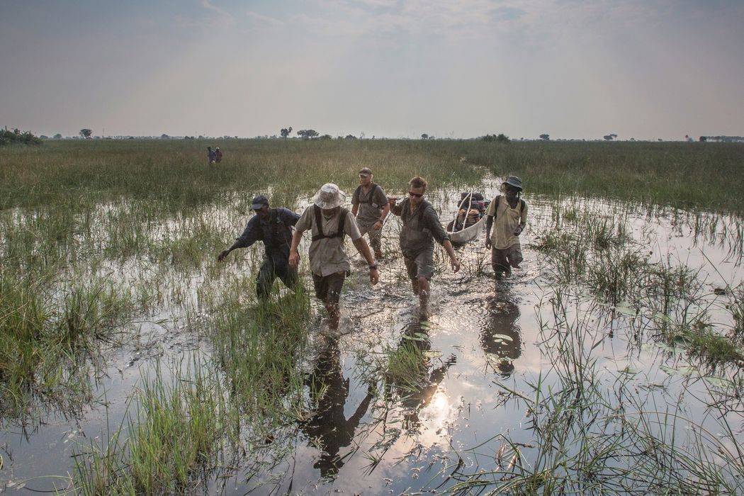
After several seasons of navigating the smooth waters of the central and eastern Okavango River Basin, this time the team faced an epic two-month journey down the rockier, more violent path of the seasonally flooding Cubango. They followed it south and east to the point where it joins the familiar waters of the Cuito.

Here in the far west of the system, the seasonal rains rush down the steep, rocky terrain in torrents, and flow out of the region in a matter of weeks. (To the east, the more gradual tilt of the land allows the formation of deep peat beds and lakes that retain water and release it steadily throughout the year.)

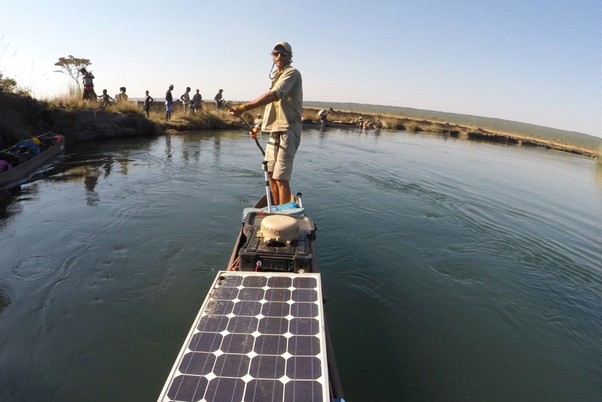
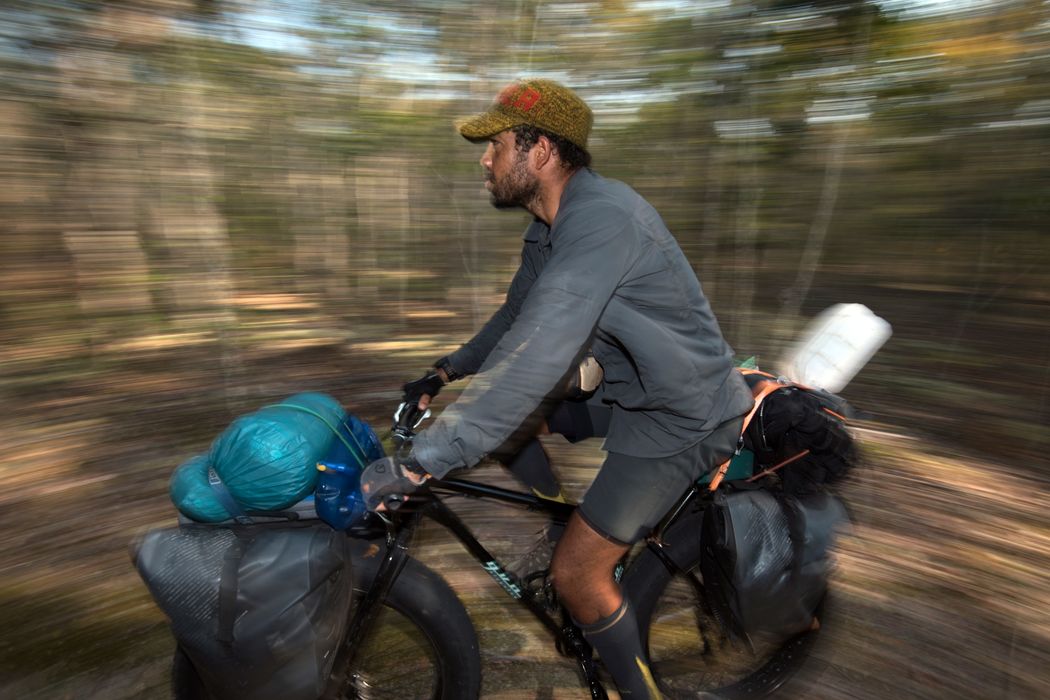
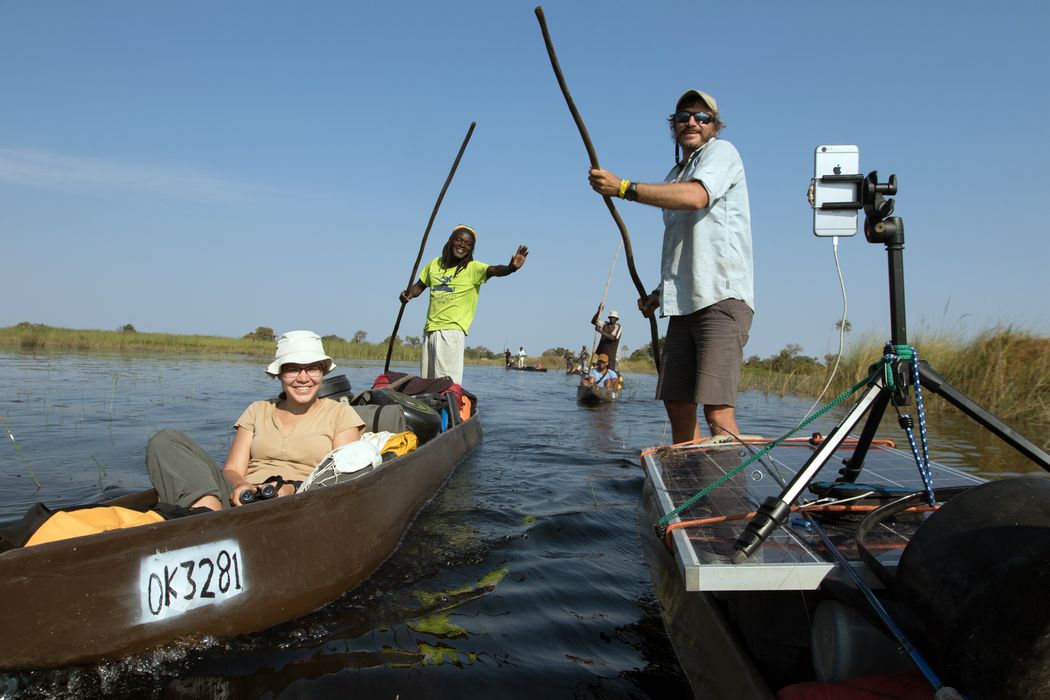
The rocks and falls provided great scenery for dramatic photographs, but made travel much more difficult that usual for a team standing up in traditional mokoro canoes.

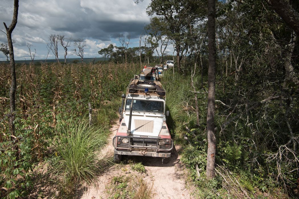
The Cubango also runs through areas that are more developed. Therefore the river is more greatly affected by increasing human impacts. It offers a glimpse of the future of the more pristine Cuito and Cuando River systems if measures are not taken to protect them.

The Mission

The Cubango supplies 55 percent of the water in the Okavango Delta. This expedition provided a baseline of information about the river’s health and functioning, which will be invaluable for making informed decisions about protection and development throughout the area.

The team worked amid waves of grass as well as water. On land, scientists performed an in-depth survey of plant and animal life. While in the mokoro canoes, the survey work was bolstered by extensive measurements of water quality and dynamics. Everyone was invested in evaluating the human impact on the ecosystem for comparison with the other rivers and with the Cubango itself over time. The canoes also carried 360-degree cameras that recorded a full view from the river every minute of the journey for reference by the public and researchers alike.

Joining the team this time were seasoned National Geographic storytellers—photographer Pete Muller, videographer Steve Spence, and author David Quammen—who researched, recorded, and experienced the expedition to help tell the story in upcoming film and magazine features.

With a camera in every pocket and solar cells for recharging, the team shared their animal sightings, stunning sunsets, and thoughts and reflections in real time throughout the expedition. See it all in their Instagram feed.

OTHER EXPEDITIONS

PHOTO CREDITS: TOP IMAGE BY PETE MULLER

Get updates about our critical work to explore and protect our planet.

GIVE TODAY!

National Geographic Society is celebrating Earth and, this month only, you can make TWICE the impact. Donate to National Geographic Society and help us make remarkable discoveries about the ocean’s intelligent marine life. The planet and our Explorers are counting on you.