IDEA SET
IDEA SET
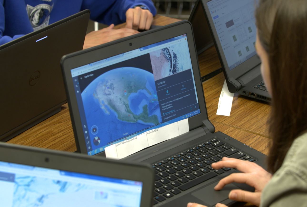
Conducting Geographic Analysis
Conducting Geographic Analysis
Google Earth Idea Set focusing on basic GIS techniques.
Grades
5 - 8
Subjects
Geography
In our modern, globally interconnected society, it is more important than ever that we understand the world around us. Google Earth allows us to visualize and bring together information about our world, and to use this information to ask and answer geographic questions. When our students do this, they are building skills in geographic analysis and geospatial thinking, which are critical for making well-reasoned decisions that affect our world.
These ideas closely connect to the National Geography Standards, some of the Next Generation Science Standards, and many of the Geography Standards in the C3 Framework.
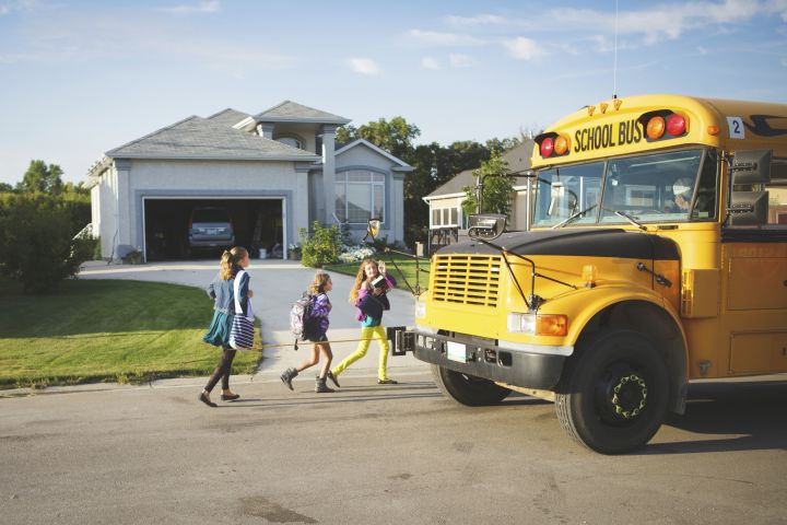
Let's Make a Move
Challenge students to build a case for a city or town to relocate its school. Have students brainstorm what criteria are important to consider. These might include access to parks and recreation, transportation, housing, food, and access to medical care. Have students work in groups to explore and gather information via Google Earth and other sources. Have students use the claim, evidence, and reasoning framework to create an argument for their chosen location and use Google Earth to present their case to their classmates, the school administration, or their parents.
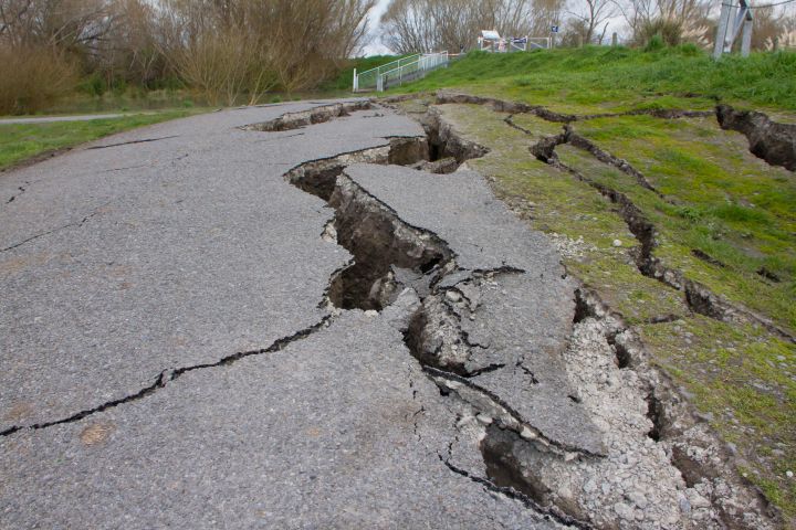
Our Quaking Earth
Naturally-occurring earthquakes are a regular part of our Earth’s geological cycle, yet they do pose a threat to those who live near earthquake-prone zones. Have your students visit the USGS Earthquake Hazards Program webpage and download a KML file of earthquakes around the world from the last 30 days (Tip: select “KML” in the Output Option section). Have them load this file in Google Earth in their “My Places” folder and explore the geographic data.
Ask students to observe, ask questions about, and discuss the geographic patterns of where earthquakes take place, both on land and in the ocean. For additional information, have students read the Encyclopedic Entry: Ring of Fire. To guide student discussion and investigation of the earthquake data, use the following types of questions and prompts:
- Where do earthquakes occur? Why might they occur in these regions?
- Make observations and describe some characteristics of the areas where many earthquakes occur (e.g., landmarks, cities, population, land use, mountains, volcanoes).
- Is there a correlation between areas of frequent earthquakes and population density?
- How does the possibility of earthquakes affect people living in areas of a higher frequency of earthquakes? What modifications do people in these areas make to their environment and buildings to live there more safely?
- An offshore earthquake could trigger a tsunami. What regions would you predict to be at risk for tsunamis?
Geography in the News
Have students view the latest news from National Geographic and read three articles that spark their interest. Challenge students to develop a geographic question about a location or topic featured in one of the articles. Have students take steps to acquire, organize, and analyze information to address the question, and share their findings. They can map the locations of each article in Google Earth, saving each to their “My Places” folder, or they can use Google My Maps to do this, adding a description and image for each place to create their own tour of the news.

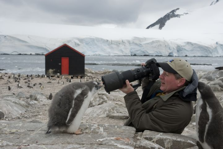
Preservation in Your Community
Many National Geographic Explorers work to protect sites of cultural, archaeological, and environmental significance. Have students read about the work of one or more of these explorers: conservation biologist Dr. Krithi Karanth, paleontologist Jørn Hurum, Egyptologist Dr. Sarah Parcak, and photojournalist/water conservationist Shannon Switzer.
Lead a discussion using the question: How do people decide what is important to preserve and protect? Then have students use Google Earth to map important sites in their community, saving them to their My Places folder. Use the following guiding questions to drive inquiry: Are there any geographic patterns in my map of important sites? Have them see what spatial patterns they can discover about the map they made. What is worth protecting in my community? What can happen if we don’t protect our community? Have students make predictions and explain their thinking with evidence and reasoning. To go further, have students answer: What current actions are we taking to protect these sites? Are they sufficient and sustainable? What can we do to help?
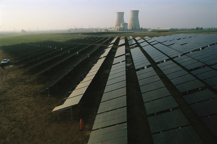
The Search for Energy
Bring the topic of energy use into the classroom using Steps 1 and 2 of the activity Mixing Energy Resources (you can use the later steps as an extension to this). Then have students download this KMZ file (World Bank, Sustainable Energy for All database) of renewable energy output and open it in Google Earth. Let them take time to read the legend and study the map. Make sure that students understand that this map shows the percent of electricity in each country that comes from renewable sources. Have them identify the countries with the highest and lowest percentages and conduct research in small groups to discover the energy story of one country on each side of the spectrum. This can include answering the questions: Which renewable or nonrenewable resources does this country have easy access to? Do they import or export their energy? Have they made big changes in recent years in how they generate their energy?
Students can also visit their country in Google Earth and identify energy infrastructure (pipelines, power plants, solar installations, wind turbines, etc.).
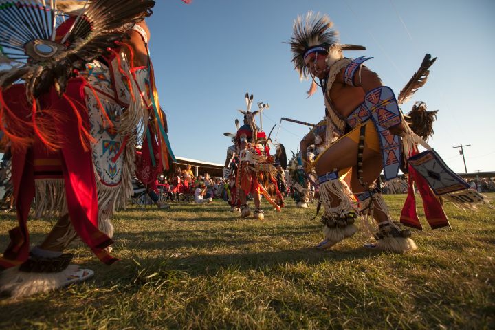
Native American Communities and Reservations
Start by having students download this KMZ file (US Census Bureau) of present-day Native American reservations in the United States and open it in Google Earth. Ask students to study the map and make geographic observations (for example, the reservations in the eastern part of the United States are much smaller than the reservations in the west, or the state of Oklahoma contains many reservations that cover a majority of the state). Have students share what is surprising or new to them from viewing this map. Then have students read this short article on the U.S. Indian Removal Act of 1830. Have students discuss what they think the impacts of this law would have been to Native American communities. Challenge students to think about this from different angles, such as a culture or health point of view.
Media Credits
The audio, illustrations, photos, and videos are credited beneath the media asset, except for promotional images, which generally link to another page that contains the media credit. The Rights Holder for media is the person or group credited.
Writer
Editor
Producers
special thanks
James Allen, Jessica Bean, Peter Cameron, Joel Charlebois, Charles Dabritz, Merinda Davis, Shiona Drummer, Andrette Duncan, Lise Galuga, Nicholas Gattis, Amanda Hensley, Melissa Hero, Rosalinda Jaimes, Brynn Johnson, Katherine Kauffman, Peg Keiner, Natalia LeMoyne, Joseph (Joe) Levine, Paul McAllister, Emily McAllister, Kelly McCarthy, Alvera McMillan, Michael Middleton, Pradip Misra, Raven Moore, Breanna Myles, Michele Osinski, Judith Painter, Ellie Reitz, Jeff Richardson, Rebekah Rottenberg, Terri Sallee, William (Bill) Scales, Afzal Shaikh, Miroslava Silva-Ordaz, Samantha Sinding, Dana Tatlock, Martha Thornburgh, Jessica Walsh, Brooke Whitlow, Josh Williams, Layne Zimmers.
Last Updated
March 25, 2024
For information on user permissions, please read our Terms of Service. If you have questions about how to cite anything on our website in your project or classroom presentation, please contact your teacher. They will best know the preferred format. When you reach out to them, you will need the page title, URL, and the date you accessed the resource.
Media
If a media asset is downloadable, a download button appears in the corner of the media viewer. If no button appears, you cannot download or save the media.
Text
Text on this page is printable and can be used according to our Terms of Service.
Interactives
Any interactives on this page can only be played while you are visiting our website. You cannot download interactives.