What is a tornado?
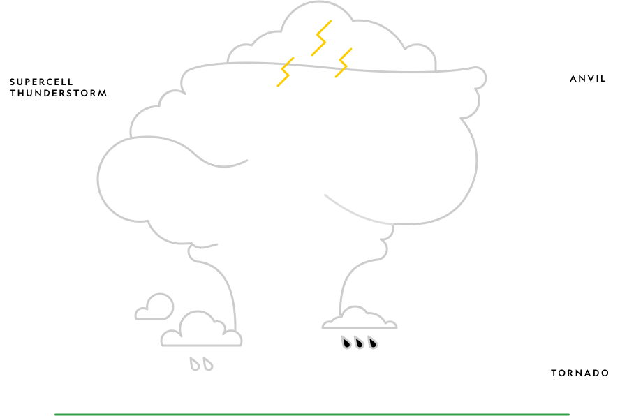
A tornado is a column of air rotating at immense speed that extends from a supercell thunderstorm and connects to the ground. The tornado moves along the ground often leaving a trail of destruction.
Video courtesy of National GeographicTornadoes vary in intensity:
- Their most intense winds can blow at up to 402 kilometers (250 miles) per hour, clearing a pathway 1.6 kilometers (one mile) wide and 80 kilometers (50 miles) long and causing incredible damage.
- The least intense tornadoes are still strong enough to cause light structural damage to roofs and break tree branches.
Anatomy of a Tornado
Signs that a Tornado is coming
Storm clouds
Large hailstones
A dark, often greenish sky
Funnel descending from the storm cloud
A continuous loud roar sounding like a loud waterfall or a freight train
What is a waterspout?
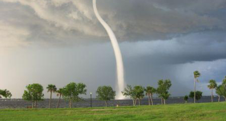
A waterspout is a tornado over water. Waterspouts are usually smaller than tornadoes over land surfaces and less intense.
Credit: Punta Gorda Police Department, Public domain, via Wikimedia CommonsWhat is a dust devil?
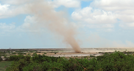
Dust devils are small, rapidly rotating columns of air that are made visible by the dust and dirt they pick up. They form on sunny days when air heated by the ground rises in twisting columns, unlike a tornado which forms in the clouds and then touches ground.
Credit: Nina B / ShutterstockHow a tornado forms
Did you know?
Less than one in a thousand thunderstorms worldwide becomes a supercell, and only one in five or six supercells spawns a tornado.
Where tornadoes form
Tornadoes can occur wherever the weather conditions are right. Most tornadoes occur in the United States. Two of the highest concentrations of tornadoes outside the U.S. are Argentina and Bangladesh
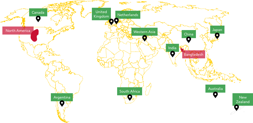
North America
Nearly a thousand tornadoes touch down every year in the United States. Most occur in Tornado Alley which stretches from Texas to South Dakota including eastern Colorado, Iowa, Indiana, Illinois, Kansas, Missouri, Oklahoma, and Arkansas. This region is a hotspot because dry air moving from the Rocky Mountains frequently flows over warm, moist, tropical air moving northward from the Gulf of Mexico.
Tornado season begins in early spring for the states along the Gulf of Mexico. May generally has more tornadoes than any other month, but April's tornadoes are usually more violent.
Bangladesh
Bangladesh has a much shorter but deadlier tornado season than North America, running from mid-March to mid-May. It receives cold air from the Himalayan Mountains which meets with hot, humid air from the Bay of Bengal.
There are higher death tolls here as a result of:
- the lack of a sophisticated warning system, unlike the U.S.
- most dwellings being constructed from materials unable to withstand high winds.
- affected areas being densely populated.
Did you know?
Although they can occur at any time of day or night, most tornadoes form in the late afternoon. By this time the sun has heated the ground and the atmosphere enough to produce thunderstorms.
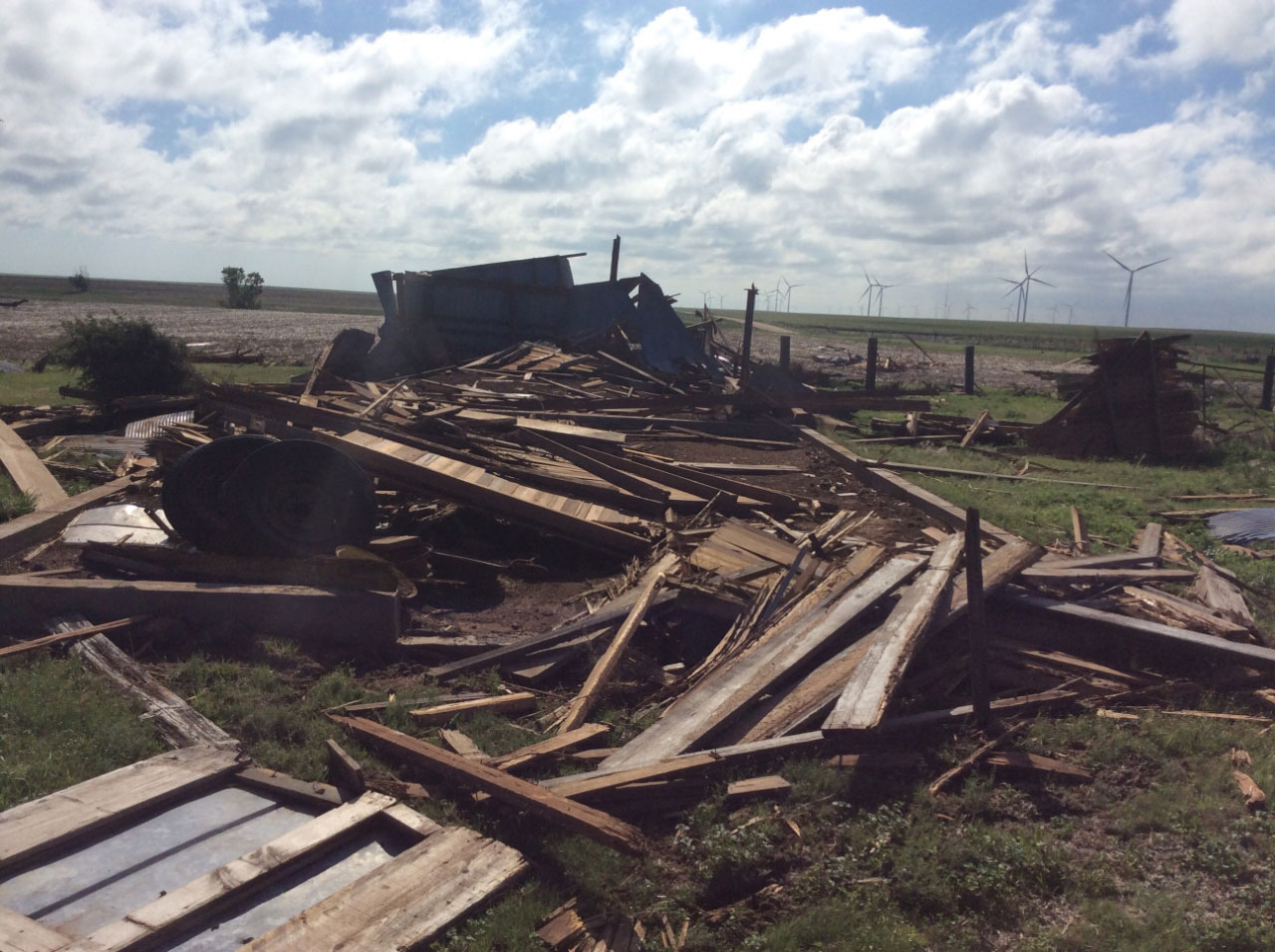
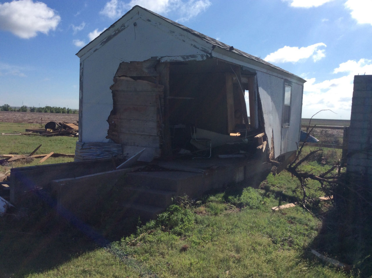
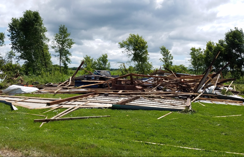
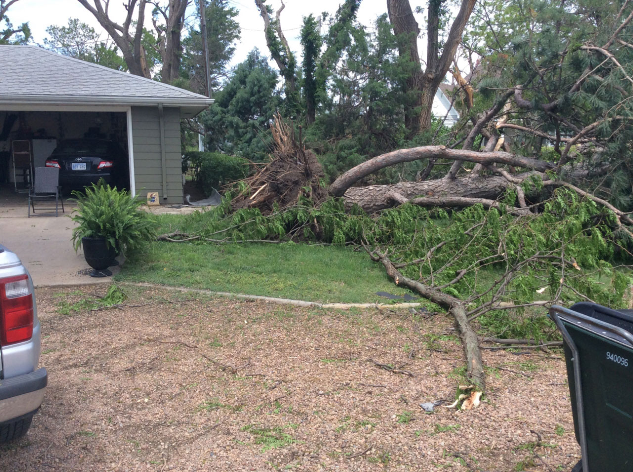
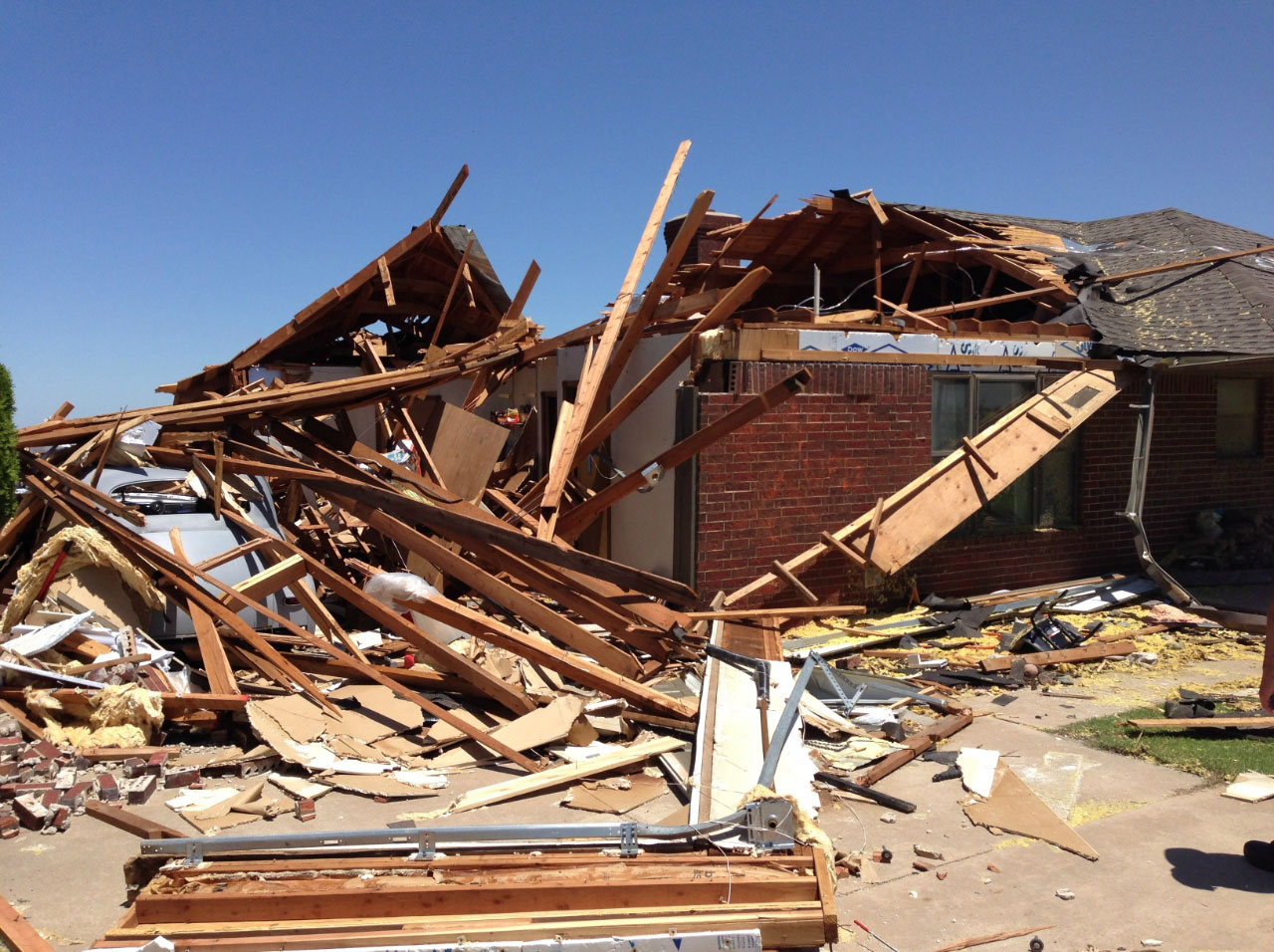
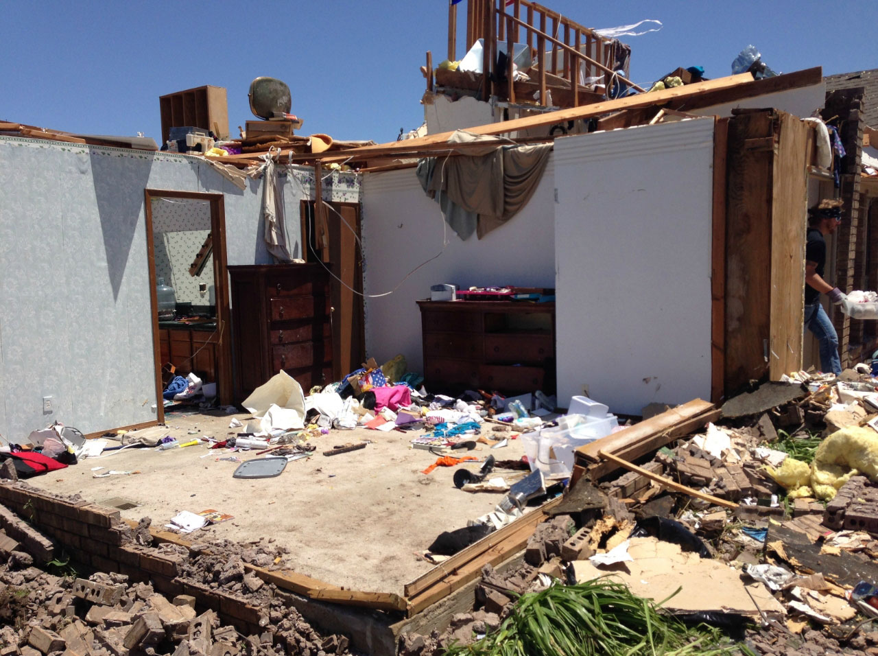
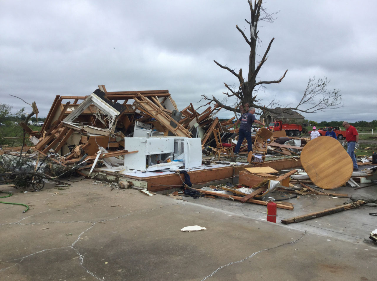
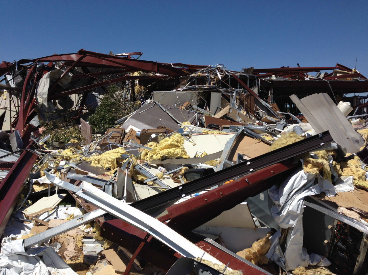
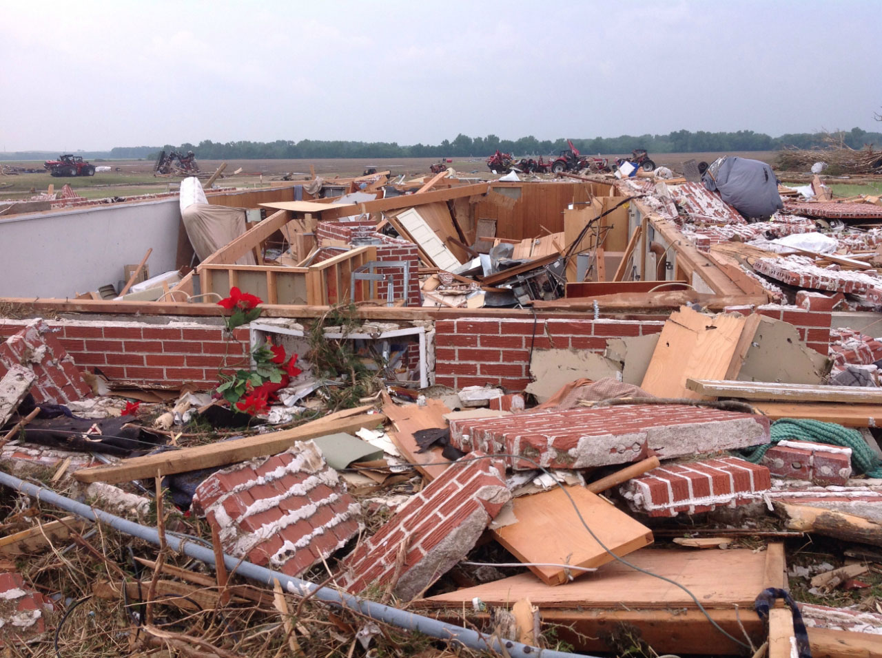
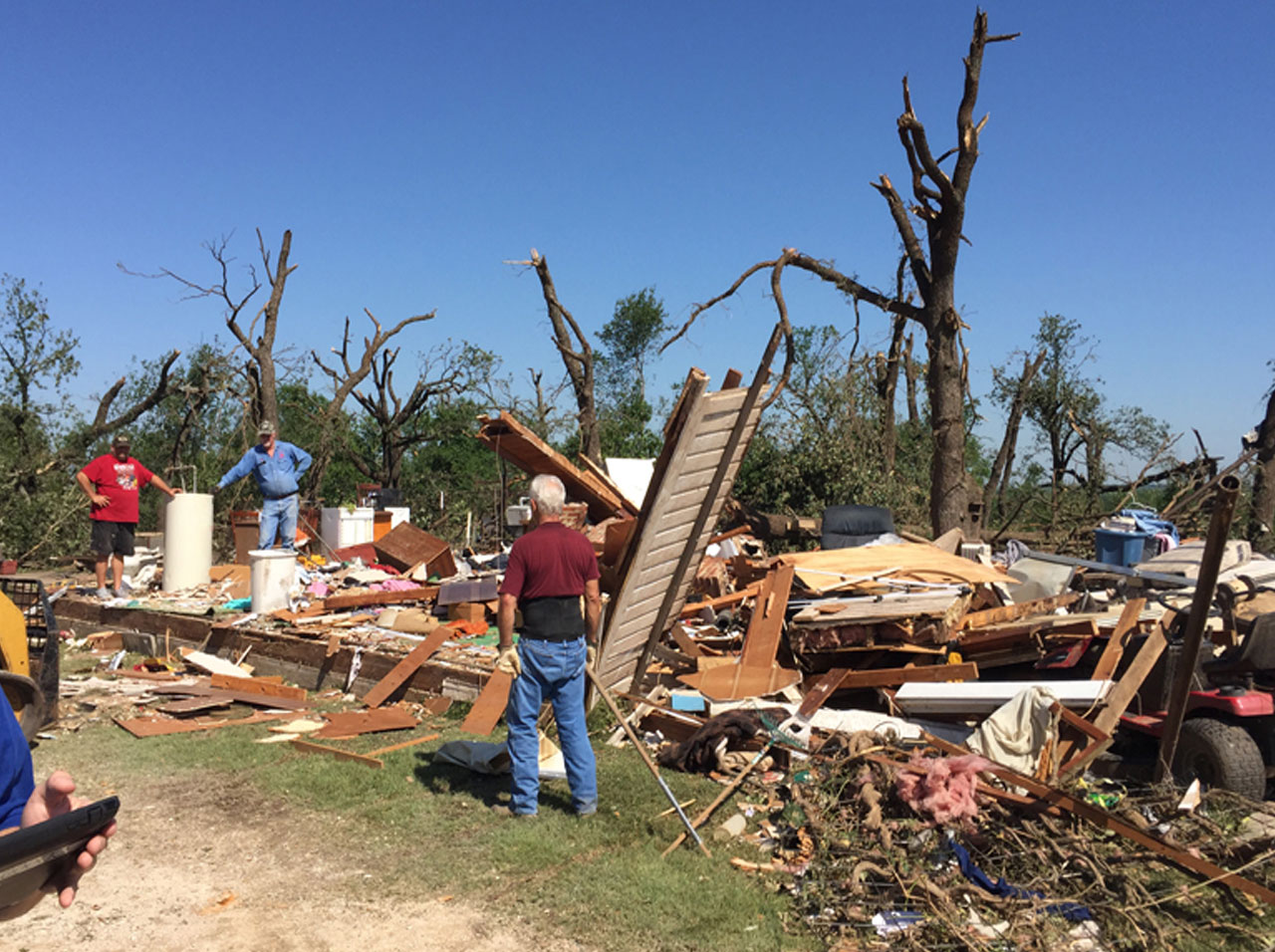
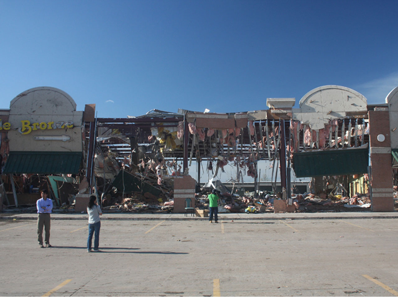
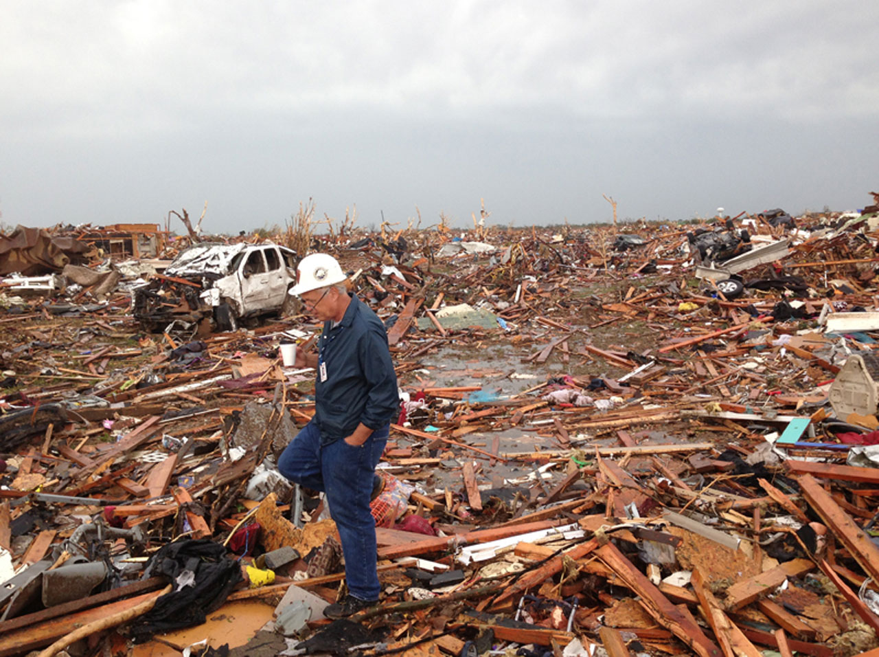
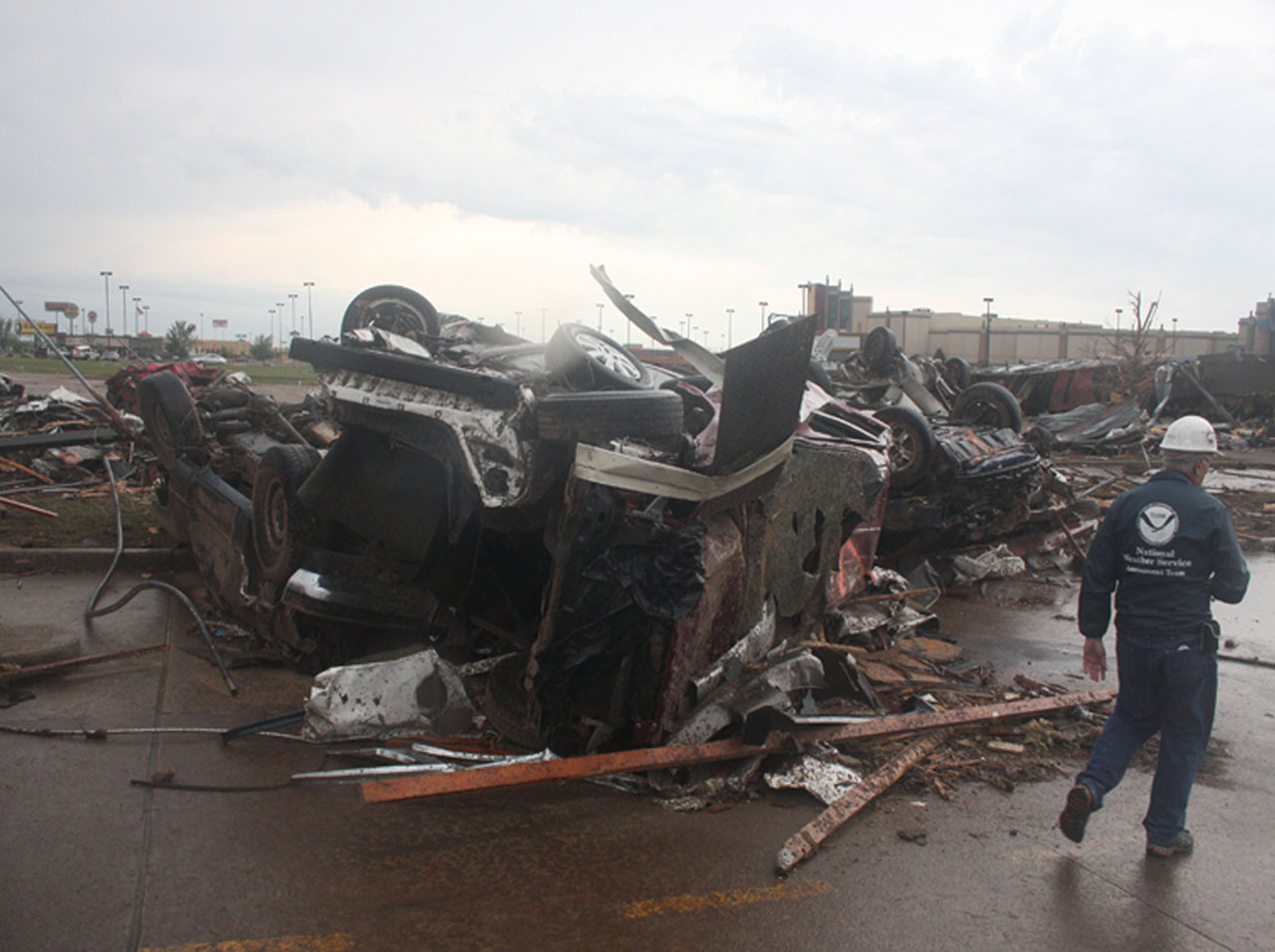
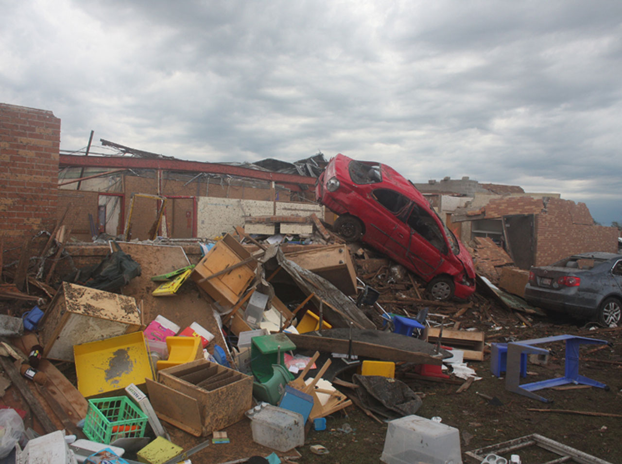
Damage tornadoes do
Scientists use the Enhanced Fujita Scale to measure the intensity of tornadoes. Anemometers (instruments which normally measure wind speed) cannot withstand the enormous wind speeds of tornadoes, so scientists have to estimate them. They then use the Enhanced Fujita Scale to assign a rating to the tornado (EF0 to EF5) based on
- estimated wind speeds
- damage caused by the tornado.
The Enhanced Fujita Scale is based on the original Fujita Scale. It retains many features of the original scale, but it looks more closely at the damage caused by a tornado and associated wind speeds.
Enhanced Fujita Scale
Select a rating to find out more about the level of damage.
-
Wind speed
105-137 kilometers (65-85 miles) per hour- Chimneys are damaged
- Tree branches are broken
- Shallow-rooted trees are toppled
-
Wind speed
105-137 kilometers (65-85 miles) per hour- Chimneys are damaged
- Tree branches are broken
- Shallow-rooted trees are toppled
-
Wind speed
138-177 kilometers (86-110 miles) per hour- Roof surfaces are peeled off
- Windows are broken
- Some tree trunks are snapped
- Unanchored mobile homes are overturned
- Attached garages may be destroyed
-
Wind speed
138-177 kilometers (86-110 miles) per hour- Roof surfaces are peeled off
- Windows are broken
- Some tree trunks are snapped
- Unanchored mobile homes are overturned
- Attached garages may be destroyed
-
Wind speed
179-217 kilometers (111-135 miles) per hour- Roof structures are damaged
- Mobile homes are destroyed
- Debris becomes airborne (missiles are generated)
- Large trees are snapped or uprooted
-
Wind speed
179-217 kilometers (111-135 miles) per hour- Roof structures are damaged
- Mobile homes are destroyed
- Debris becomes airborne (missiles are generated)
- Large trees are snapped or uprooted
-
Wind speed
219-266 kilometers (136-165 miles) per hour- Roofs and some walls are torn from structures
- Some small buildings are destroyed
- Non-reinforced masonry buildings are destroyed
- Most trees in the forest are uprooted
-
Wind speed
219-266 kilometers (136-165 miles) per hour- Roofs and some walls are torn from structures
- Some small buildings are destroyed
- Non-reinforced masonry buildings are destroyed
- Most trees in the forest are uprooted
-
Wind speed
267-322 kilometers (166-200 miles) per hour- Well-constructed houses are destroyed
- Some structures are lifted from foundations and blown some distance
- Cars are blown some distance
- Large debris becomes airborne
-
Wind speed
267-322 kilometers (166-200 miles) per hour- Well-constructed houses are destroyed
- Some structures are lifted from foundations and blown some distance
- Cars are blown some distance
- Large debris becomes airborne
-
Wind speed
over 322 kilometers (over 200 miles) per hour- Strong frame houses are lifted from foundations
- Reinforced concrete structures are damaged
- Automobile-sized missiles become airborne
- Trees are completely debarked
-
Wind speed
over 322 kilometers (over 200 miles) per hour- Strong frame houses are lifted from foundations
- Reinforced concrete structures are damaged
- Automobile-sized missiles become airborne
- Trees are completely debarked
-
Wind speed
over 322 kilometers (over 200 miles) per hour- Strong frame houses are lifted from foundations
- Reinforced concrete structures are damaged
- Automobile-sized missiles become airborne
- Trees are completely debarked
-
Wind speed
over 322 kilometers (over 200 miles) per hour- Strong frame houses are lifted from foundations
- Reinforced concrete structures are damaged
- Automobile-sized missiles become airborne
- Trees are completely debarked
Forecasting tornadoes
To prevent panic among the public, tornado forecasting was not practiced during the early 20th century. The word “tornado” was banned from U.S. weather forecasts until the 1940s. Thankfully this has changed now.
Tornadoes are not easy to predict. One thing we can say is that we know what conditions can spawn tornadoes, that is warm, humid air near the surface is overrun by, dry air aloft and this happens most frequently in spring and early summer in the central U.S.
Meteorologists at the U.S. National Weather Service use a variety of tools to help predict where tornadoes will form:
 1
Weather stations
1
Weather stations
Weather stations measure conditions at the surface, allowing meteorologists to monitor where heat, moisture, and winds may support the formation of supercell thunderstorms.
Satellites pick up the location of moisture in the atmosphere above the surface and reveal where clouds are forming.
Radiosondes are miniature weather stations carried upwards to great heights by weather balloons. They measure:
- air temperature
- humidity
- wind speed
- wind direction
- atmospheric pressure
Supercomputers are fed all this data. Their simulations generate a model of how they ‘think’ the weather will behave. Meteorologists compare the model with weather observations, and if the data fits, they can make a forecast.
Doppler radar is used to get more information once the storm starts. Radio frequencies are fired at the clouds. The reflected information tells the meteorologists which direction the storm is moving in and also if it contains a rotating mesocyclone that would identify the storm as a supercell. A rotating storm could spawn a tornado.
Once the National Weather Service has information indicating a risk of tornadoes, they will issue a
Tornado Watch when weather conditions are right for tornado formation.
Be prepared!Tornado Warning when a tornado has been sighted or indicated on radar.
Take action!Doppler Radar and Warning Times
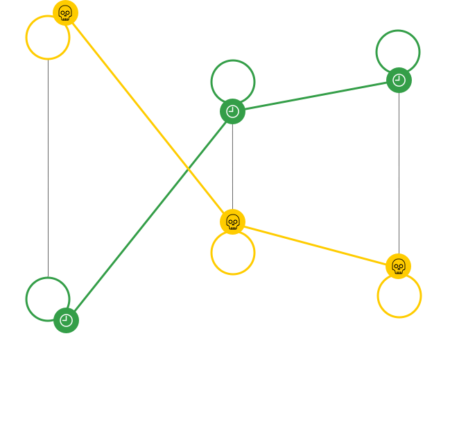
Doppler radar has increased warning time for tornadoes from less than five minutes in the 1980s to an average of 14 minutes today resulting in fewer deaths.
-
 Number of deaths
-
 Warning time (mins)
Stormchasers
Video courtesy of National GeographicTornadoes are fascinating and awe-inspiring. They not only catch the imagination of scientists but many non-expert hobbyists as well, even some thrill-seekers too. These different groups are all known as storm chasers. They hit the road during tornado season, heading for the areas with weather conditions most likely to spawn supercell thunderstorms. Some storm chaser scientists will even try to place sensors in the path of a tornado hoping to collect data about wind speed, air pressure, humidity, and temperature. Most storm chasers aim to position a safe distance away from a tornado and take dramatic photos and capture footage. The only thing that is guaranteed is that they'll be driving close to and sometimes through severe storms, getting pounded by hail and dodging lightning. The reality is they may go for years before ever spotting the elusive tornado.